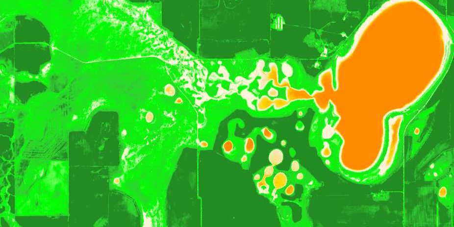
Hydrobiology has been conducting multi-spectral imagery analysis to implement a range of recently developed tools available in the literature to mining projects across Australia and internationally. This has included assessing the rate of change of groundwater use indicators across the dry season, such as vegetation health (NDVI), landscape “wetness” (NDWI), actual Evapotranspiration (WIRADA/CMRSET data), groundwater evapotranspiration (ETg), Water Observations from Space (WOfS) and inflow dependence probability (pIDE). These tools can be mapped a coarse scale (25m for long-term Landsat imagery back to 2004), intermediate (10m for Sentinel 2 data since December 2015) and fine scale (e.g. 2m or less for commercial satellites such as Worldview). We have worked closely with our clients and botanical consultant provided data (e.g. vegetation unit mapping) to generate products that are extremely cost effective and rapid to produce. Where GDEs are potentially present or the project will have significant groundwater interaction, we have found that satellite imagery analysis can be an invaluable tool to target on-the-ground botanical surveys and provide an early risk assessment at low cost in order to plan infrastructure placement and/or design further investigative studies.


