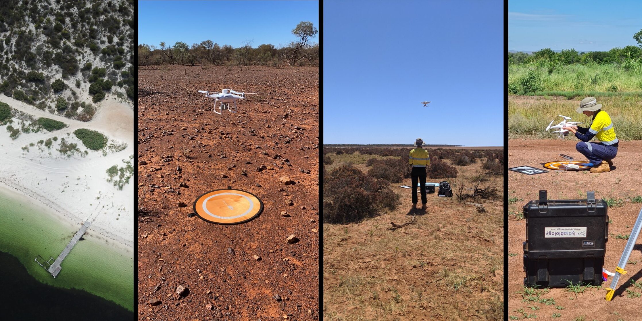
Hydrobiology has integrated drone imagery and data to complement and enhance field studies since 2017. In April, our Western Australia office was awarded the CASA Remotely Piloted Aircraft Operator’s Certificate. We are happy to offer existing and new clients our UAV-generated high resolution RTK-fixed georeferenced 3D Models, point clouds, Digital Surface Models (DSMs), 2D orthomosaics and high-resolution multispectral outputs to existing to address aquatic and terrestrial challenges including;
• Water quality, discharge and plume monitoring
• Ecological and Geomorphic Habitat Mapping
• Time Series Habitat Monitoring
• Rehabilitation Success Analysis
• Multispectral biodiversity, terrestrial monitoring and Vegetation vigour
• Wetland establishment, mapping and health assessment
• Change analysis


