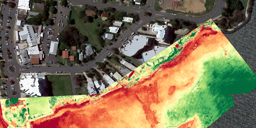
Hydrobiology Singapore has been commissioned by the ‘National Parks Board’ (NParks) to map coastal habitats and shoreline types along the coastlines of Singapore. This is a very exciting project which requires the use of both remote sensing satellite imagery and ground truthing efforts to assess and characterise different coastal habitat and shoreline types throughout Singapore. The maps will be used for future spatial planning, marine space management, designation of protected areas and long-term habitat monitoring in Singapore.


