On November 20th, Hydrobiology joined hubs across the Oceania region (from Perth in the west to Rarotonga in the east) for a special edition of the FOSS4G conference. FOSS4G stands for Free and Open Source for Geospatial, and if you’ve used QGIS, R, GRASS, Python or many of the other open-source applications, chances are some of the FOSS4G attendees are involved in the development and maintenance of these critical resources.
Like many environmental consultancies, we tend to use OS (open source) software for our geospatial requirements when possible. This allows us to offer a cost saving to our clients, but also to avail of the huge library of plugins and the even bigger knowledge base both online and in groups like Geogeeks and Georabble. We also recognise the importance of industry contribution back to the OS movement, and this year we were proud to be able to be welcomed onboard as a sponsor at FOSS4G in Perth.
The event itself was fantastic, a diverse mix of talks across disciplines, from exploration geology to local government, art to journalism. Stand-out talks came from the ABC’s Marcus Mannheim about how to improve your data visualisations, Indigenous Mapping Workshops Deadly Data, malaria risk modelling from the Telethon Kids Institute and what was a neat integration by UWA of drone and satellite imagery to monitor and predict flowering in the great Eucalypt forests of Western Australia.
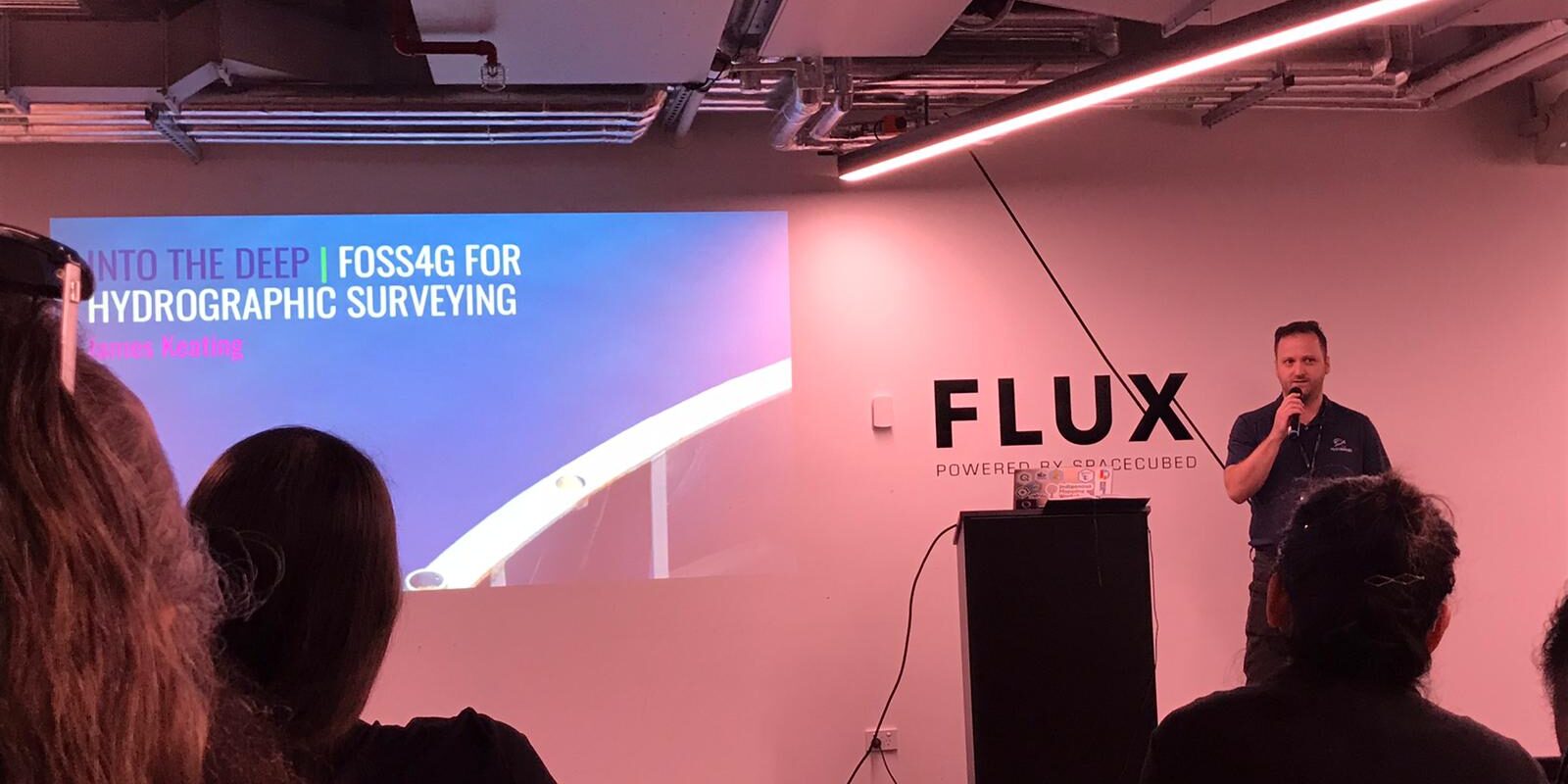
Hydrobiology also shared some of our recent projects at the event, with Ross giving a talk about his experience using Sentinel-2 multispectral imagery to quantify surface water cover and data visualisation using dashboards (R and QGIS). James presented our latest R&D project to develop a sonar towfish with a GIS processing plugin for benthic habitat mapping (R, QGIS, blender and Python).
All in all, a brilliant event and we look forward to the next one.


