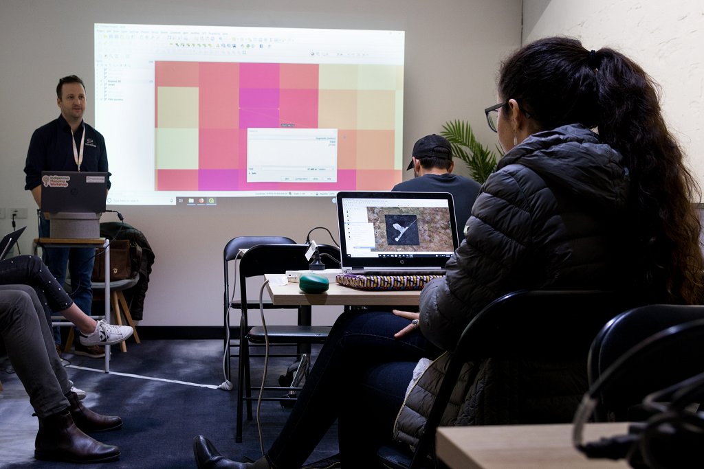
Hydrobiology’s own James Keating- Project Manager, Marine and Coastal Sciences attended the Indigenous Mapping Workshop in Perth this week, where he presented a workshop on the application of satellite imaging and remote sensing to estimate the severity and area of fire scars. The feedback, knowledge and stories provided by the attendees and the practical application of remote sensing in their everyday work made the sessions a fantastic learning experience for presenters and attendees alike.
The Indigenous Mapping Workshop was inaugurated in Canada 6 years ago and has grown through the strength of knowledge and enthusiasm of the attendees. The Perth workshop this year was organised by Winyama. The event was an outstanding success with attendees bringing their unique mapping experiences from all corners of Australia and further afield to address challenges such as traditional land use and occupancy studies, environmental monitoring, and inter-generational knowledge transfer.

Photo Credit: Dion Kickett Photography


